

Pollution has become one of the most prominent environmental challenges of the modern era, and its accurate monitoring and analysis are essential for developing effective and sustainable solutions. This is where the importance of Geographic Information Systems (GIS) comes in; GIS is an advanced tool for monitoring and analyzing environmental data and linking it to geographic location.
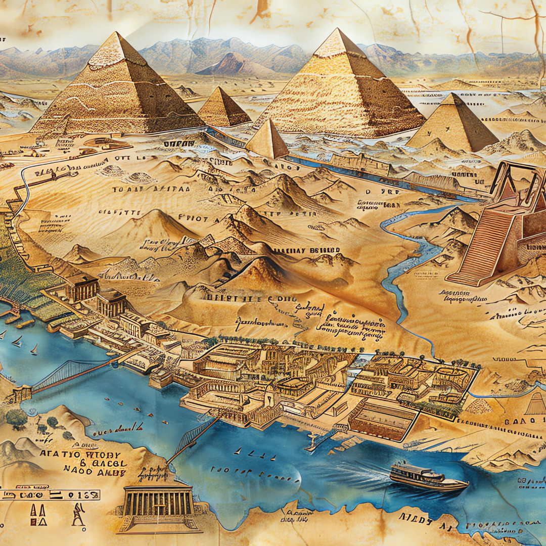
A GIS system allows for the collection of data from multiple sources, such as environmental monitoring stations, satellites, and smart sensors, and then its display on digital maps that illustrate pollution concentrations across time and space. For example, air pollution in Cairo can be tracked daily, and the most polluted areas identified, facilitating government decisions such as traffic diversions or tree planting in specific areas.
GIS can also be used to monitor water pollution from factories or sewage systems, and to track chemical or oil spills into rivers and other water bodies. Many government agencies and environmental organizations use this technology to create environmental sensitivity maps that prioritize interventions.
Geographic Information Systems (GIS) promote transparency and engage local communities through open applications that allow citizens to report sources of pollution and participate in assessing the environmental situation.








 English
  العربية